Tropical Storm Watch in effect for Barbados
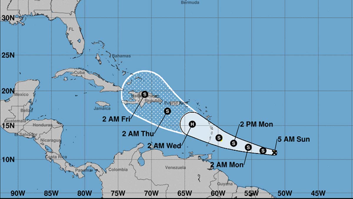
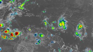
At 500 AM AST (0900 UTC) Sun Aug 25, 2019, the center of Tropical Storm Dorian was located near latitude 11.0 North, longitude 51.6 West. Dorian is moving toward the west near 13 mph (20 km/h), and this motion is expected to continue today, followed by a motion toward the west-northwest Monday and Tuesday. On the forecast track, Dorian is expected to be near the central Lesser Antilles late Monday or early Tuesday.
Maximum sustained winds remain near 40 mph (65 km/h) with higher gusts. Some strengthening is forecast during the next 48 hours, and Dorian could be near hurricane strength over the eastern Caribbean Sea.
Tropical-storm-force winds extend outward up to 25 miles (35 km) from the center.
The estimated minimum central pressure is 1008 mb (29.77 inches).
HAZARDS AFFECTING LAND
RAINFALL: Dorian is expected to produce total rain accumulations of 2 to 4 inches in portions of the Lesser Antilles, with possible isolated maximum amounts of 6 inches.
WIND: Tropical storm conditions are possible within the watch area by late Monday.
SURF: Swells generated by Dorian will be affecting portions of the Lesser Antilles by late Monday. These swells could cause life-threatening surf and rip current conditions. Please consult products from your local weather office.